|
Bangor and Newtownards are the 4th and 7th largest towns in Northern Ireland respectively, with a combined population of around 80,000 people. The fast, smooth dual-carriageway that covers the short distance between them was built as they were undergoing their fastest period of growth. The first 300 metre stretch from the Ring Road to Rathgael Road is described in a newspaper cutting from October 1966 as "already... reconstructed as a dual-carriageway". The same article says that work is "at present under construction" from there to Conlig and then asserts that there is a plan to build a bypass round Conlig and that work will begin "within the next three years". We know that it was all finished by 1976. With thanks to Andrew Muir for this detective work.
Today the road runs from the Bangor ring road, bypasses Conlig village and arrives at the north-eastern edge of Newtownards where it becomes a 4-lane single-carriageway road almost to the town centre. At the Bangor end the first mile or so of the road was originally through countryside, but has now become quite urbanised so that traffic lights have had to be installed near Conlig to allow safe access for local traffic (see photo below). Part of the road south of Conlig is on a hillside and the two carriageways have been constructed on a split level with a retaining wall between (see photo below).
The local area is very well served with dual-carriageways, with Belfast, Dundonald, Comber, Newtownards and Bangor each connected to the others by roads of this standard. If anyone knows more precise dates, please get in touch!
Photos
With thanks to Andrew McCullough for supplying the photos below.
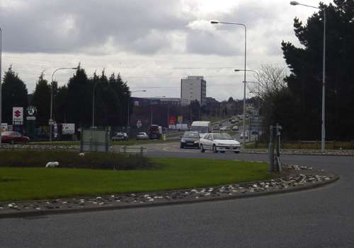
The dual carriageway begins on the Bangor ring road here at the Newtownards Road roundabout. This picture looks south from the Ring Road with the Rathgael Road roundabout in the distance. [Photo by Andrew McCullough]
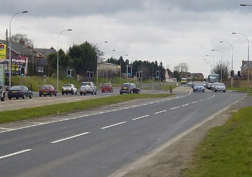
The Green Road junction at Conlig, looking towards Bangor, where traffic lights have had to be installed to manage traffic safely. [Photo by Andrew McCullough]
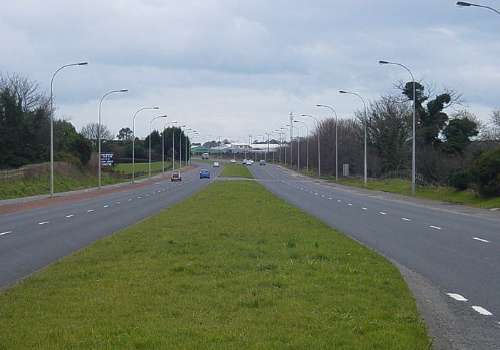
Looking north, towards Bangor, from near Conlig village (to the left). [Photo by Andrew McCullough]
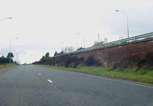
The split-level carriageways just to the south of Conlig take the A21 along the side of a hill. This view is of the Newtownards-bound carriageway with the Bangor bound lanes above the retaining wall. Note that the wall has been built with relatively expensive red brick and softened with vegetation. [Photo by Andrew McCullough]
|
