Status |
Construction scheme (completed) |
Where |
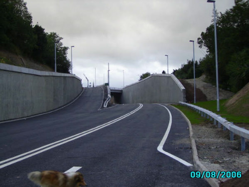
Completion of the Omagh Throughpass which carries the strategic Dublin to Londonderry route past the town centre. |
Total Length |
2.6 km / 1.6 miles (+ 0.7 km / 0.4 miles of linking routes) |
Dates |
Direction order made Spring 2002.
Vesting order signed June 2003 .
Construction began August 2004 with completion due Feb 2006.
Most of road opened 18 August 2006.
Officially completed 13 October 2006 (8 months behind schedule).
|
Cost |
£12.2 million |
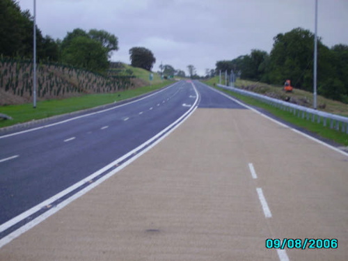
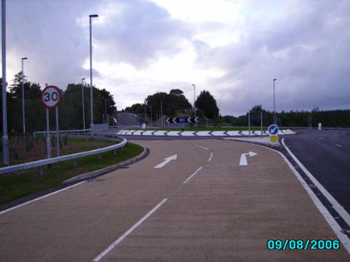
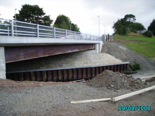
Photos |
See below. |
See Also |
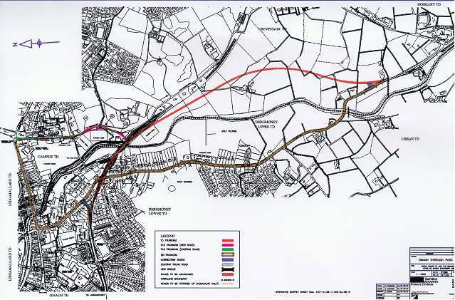
General area map The route follows the route of the dotted line (disused railway).
Roads Service web site on scheme.
|
The Omagh Throughpass has been planned since at least the 1980s. Fortunately the disused railway line follows the desired route and was not built upon, and so this has formed the route of most of the new road. The first and second portions from the Derry Road in the north of the town round to the Dublin Road was completed and opened in the early 1990s. This final phase will carry the route further to the south to bypass the residential areas on the Dublin Road as well as opening up the lands at Doogary, south of Crevenagh, to easier access for development. A press release in December 2005 revised the completion date back from "February 2006" to "Spring 2006". Another press release in June 2006 revised the completion date again, this time to "late Summer 2006". And this press release in August 2006 claimed that the outstanding work would be completed by "the end of September". The road was eventually opened officially by the Roads Minister David Cairns in mid October. The reason for these delays is unclear.
The new road extends under the current Dublin Road, cross the Drumragh River and then turns south past Crevenagh Farm on the map and emergse onto the existing A5 at Lissan Bridge (also marked on map). The plan also saw the existing Crevenagh Road upgraded between Campsie Playing Fields and where it joins the new road at a new roundabout, a distance of about 700 metres. A mini roundabout was provided at the junction of Irishtown Road and Crevenagh Road.
The crossing of the Drumragh River has required the demolition of the existing historic steel girder railway bridge which has remained in place since the trains ceased in the 1960s. Although this is a sad loss, the new road will provide huge benefits for both local and through traffic.
The map below is the Roads Service map of the route. Note that this map has north to the LEFT. Although it is quite small, it shows the existing A5 in brown with the new throughpass in pink.
|